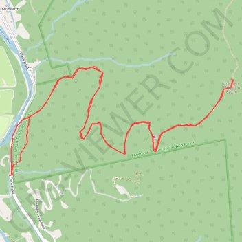
Tremper Mountain
Hike to the Tremper Mountain Fire Tower via Phoenicia Trail in the Phoenicia - Mount Tobias Wild Forest. #Hike #Mountain #Nature #Forest
- Distance : 9.9 Km
- Dénivelé positif : 629 m
- Altitude maximum : 824 m
- Dénivelé négatif : 626 m
- Altitude minimum : 233 m
- Temps en mouvement : 2 h 30 m
- Vitesse en mouvement : 4.0 Km/h
- Vitesse maximum : 25.9 Km/h
- Temps total : 2 h 40 m
- Vitesse globale : 3.7 Km/h
- Date : 07. 10. 22
Carte interactive
Profil de la trace GPS
À propos de cette trace GPS
Nom : Trace GPS Tremper Mountain, itinéraire, parcours
Coordonnées : 42.06619 -74.30354 42.07553 -74.27770