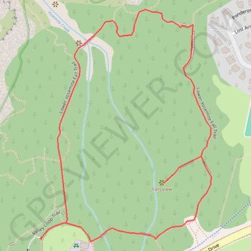
Lower Yosemite Falls Loop
Carte interactive
Profil de la trace GPS
À propos de cette trace GPS
Nom : Trace GPS Lower Yosemite Falls Loop, itinéraire, parcours
Coordonnées : 37.74605 -119.59692 37.75058 -119.59269
Autres traces GPS
Cliquez sur une trace GPS pour visualiser son itinéraire, ses statistiques et son profil.
Yosemite North Dome Loop
United States > California > Mariposa County > Curry Village
Loop hike to North Dome via Lower Mirror Lake, Tenaya Creek, Valley Loop Trail, Snow Creek Trail, North Dome Trail, Upper Yosemite Fall Trail, Oh My Gosh Point and Columbia Rock in the Yosemite National Park. #Hike #Loop #Mountain #Nature #Lake #Forest #Fall #Park #Yosemite
Distance : 32.0 Km • Dénivelé positif : 2’275 m • Altitude maximum : 2’484 m
Walker - Auberry
États-Unis d'Amérique > Californie > Mono County > Walker
Vélo. En aller simple entre Walker et Auberry. #Vélo
Distance : 354.0 Km • Dénivelé positif : 6’633 m • Altitude maximum : 3’039 m